NASA maps dimmed Florida night lights after Hurricane Isaias
NASA imagery published on October 16 shows reduced nighttime lighting around Pensacola and Destin after Hurricane Isaias. The analysis compares October 11…
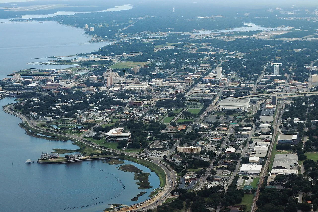
Pensacola, Florida, in July 2018. Archive photograph.
NASA imagery published on October 16 shows reduced nighttime lighting around Pensacola and Destin after Hurricane Isaias. The analysis compares October 11 observations with typical August conditions.
NOAA-20 measurements and the Black Marble HD product reveal patterns consistent with widespread power disruption. Some areas remained bright, although imagery alone cannot establish whether backup generators or uninterrupted service explain the difference.
The comparison offers a detailed view of storm impacts once clouds cleared.
Source: NASA.
Photo credit: formulanone.
Image on Wikimedia Commons — CC BY-SA 2.0. Resized and converted to WebP.
اقرأ النسخة العربية · Report an error or request a correction