NASA imagery documents Hurricane Simon near Mexico's coast
The satellite account describes the storm's observed strength on 11 October, rather than a live forecast.
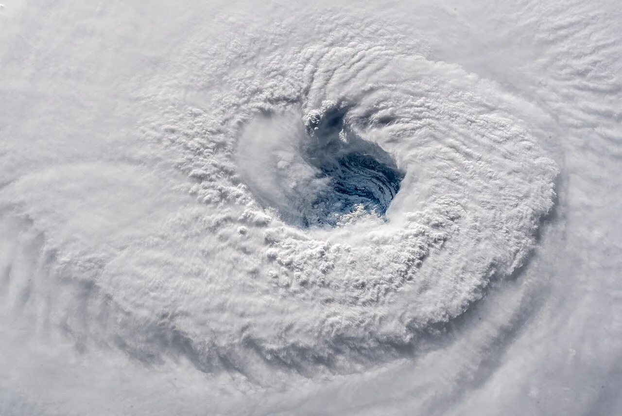
NASA's Earth Observatory published an analysis of Hurricane Simon near Mexico's Pacific coast on 14 October 2026. The Suomi NPP satellite captured the image discussed in that report on 11 October.
According to the observatory, Simon passed close to the coast as a Category 4 hurricane, with sustained winds of about 250 kilometres per hour. Its eye was approximately 50 kilometres offshore between Manzanillo and Puerto Vallarta at the time of the observation.
Although the storm remained offshore, strong winds and coastal flooding were associated with it. These measurements describe the storm at the observation date and should not be treated as a current forecast. Local authorities' alerts remain the reference for present conditions.
Source: NASA Earth Observatory · Source date: 2026-10-14.
اقرأ النسخة العربية · Report an error or request a correction